Day 72 – Gascoyne River to Sandstone

It has been quite an insight this trip to see how many roads in Australia are at the mercy of the weather, liable to be suddenly closed and rendering entire communities shut off from the rest of civilization.

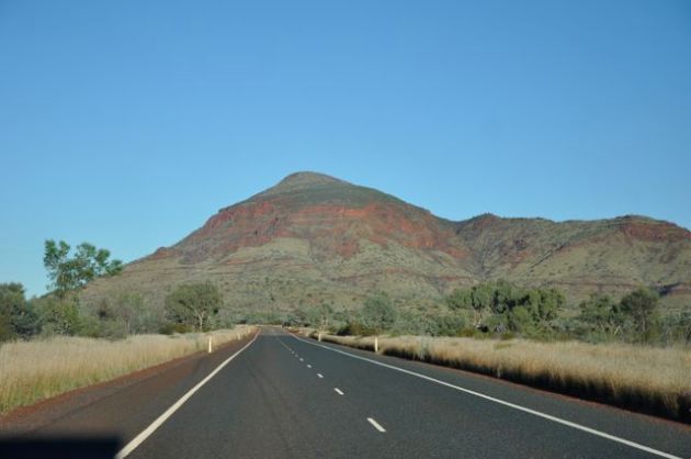
Leaving Gascoyne River, there were a few potential routes we could take to continue our journey towards Kalgoorlie. It was tempting to take the quickest route, but this involved a minor dirt road and with the continued rain and slippery conditions, we decided it might be more trouble than it was worth. In any case, the council told us it had not been closed yet, but might be by the end of the day,  so although we could have got through, it obviously wasn’t in great shape.

Our second choice, which offered better scenery and the middle distance to travel, had been closed that morning.

So we stuck with the remaining option, which was bitumen all the way but added around 300km to the total distance. We were now in the “goldfields” area, and passed through several historic towns (eg Cue), several brown-signed “former site of x town” where the town was now completely wiped from existence due to the fluctuating mining fortunes, and several towns that we felt perhaps would be better if they WERE wiped from the map (eg Meekatharra, although the man at the shire offices was very helpful!).

At Mt Magnet we turned due east, reaching the historic town of Sandstone by mid-afternoon, where, in view of the weather and Chris’s back (now beginning to improve) we had booked a night at the only pub in town, the National Hotel. Samdstone was once a thriving mining town sporting four hotels and a population of several thousand. These days it is a little more humble, as is the donga-style accommodation (suffice to say that the UHT milk supplied in the fridge had a use-by date of Feb 2013). However the bar was full of character, with a crackling log fire, friendly staff and a bunch of locals, and we enjoyed a good pub meal there. (I completely forgot to take a photo of the National Hotel or its front bar, which is a shame). Chatting to a mechanic at the bar, who travels between mines fixing everything from the little forklifts to the huge dumpsters, I asked him if many of his mates worked in the mines. “Nearly all of them,” he said, as though that would be obvious, and it struck me just how different WA is to Victoria.



Day 71 – Karijini to Gascoyne River (roadside stop)

It was cold leaving Karijini, and dress standards hit new lows, with my tracky daks and fleece now being complemented by socks worn with thongs. We stopped in Newman for petrol and supplies, and the place is perhaps best summed up by the fact that, having spruced myself up by removing the socks, I felt overdressed.

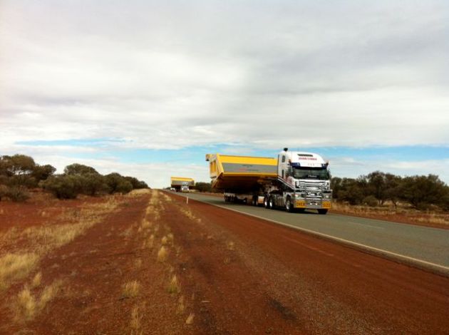
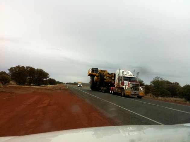
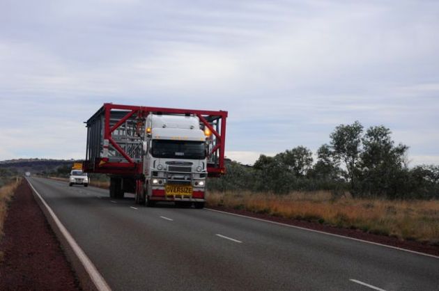
From Newman, we were confronted with “oversize” load after oversize load, as we saw several mining vehicles being transported north piece by piece – first came the dump trays and scoops, then the wheels, and then finally, the massive bodies, nearly 8 metres across and defying physics in the way they were balanced across the semi-trailers. It’s a wonder the transporting trucks could move with the load, and certainly there was no room for us to share the bitumen with them!

ImageImageImageImage

We bush camped a short distance of the road near the Gascoyne River, enjoying a relaxed evening by the campfire to the muted sounds of semi-trailers, all lit up like moving strands of fairy lights as they continued their travels through the night. We turned in, thinking we might just have outrun the rain….

…and were awoken a few hours later, not by the trucks, but by the pitter patter that told us we would be packing up a wet trailer in the morning.

Day 69-71 – Karijini National Park


We reckon we had the best site in Karijini – not only did it have the auspicious number 123 (yes, it’s a huge camping area), access to facilities, a big area to ourselves and a nice view, it ALSO had the real clincher: the perfect tree for a rope swing. (This piece of rope has travelled with us since being scavenged at Edith Falls in the NT, and has proved very useful!)

Image


ImageWe passed a lovely few nights in karijini – in fact, the most we have spent anywhere – and although the nights were cold, with ice on the table one morning (unfortunately well melted by G&T time in the evening), the days were sunny and a pleasant temperature for walking.


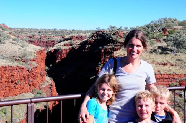
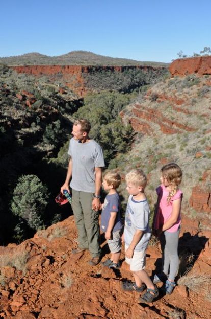
The highlight walk was definitely the “spiderman” section of Hanson’s Gorge. Unfortunately Chris’s back wasn’t up to it, so it was a bit hairy monitoring the three kids alone as we traversed the narrow and slippery section of the gorge, but the kids enjoyed the challenge.

Image

ImageImageImageImageImage

Image


Image


We also did a lovely walk through Dales Gorge, which featured waterfalls, narrow rocky ledges and a ladder to be navigated. Emily walked along the top of the gorge while the boys and I skipped across rocks at the bottom, ending at the cool and echo-y Circular Pool before the steep climb back up. The boys raced ahead like mountain goats, with me puffing behind.

ImageImageImageImageImageImageImage


Image

Image

We balanced the walks with plenty of “downtime” at the campsite, and I tested the kids navigation skills with a treasure hunt using compass readings and a specified number of steps. The kids did surprisingly well, spurred on by the chocolate treasure awaiting them, and then decided to set a similar task for me. It all sounded like a great idea, and I left them to it while preparing dinner….until I heard Charlie calling out that he was having trouble “burying the iPhone”. (He has now worked out the magic words to get mum come running!). No permanent harm done, although the black leather cover didn’t like the red dirt too much!


It is not yet wildflower season, but there were plenty of beautiful blooms about.

ImageImageImageImage

Image

Image

Image

Image

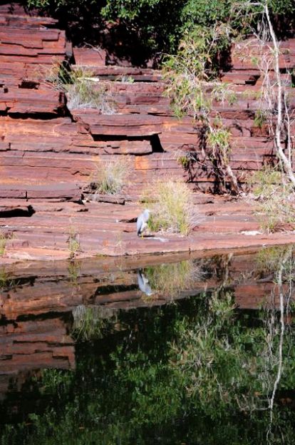
Spot the blue heron….

Image

Spot the scorpion:

Image

Spot the grasshopper:

Image


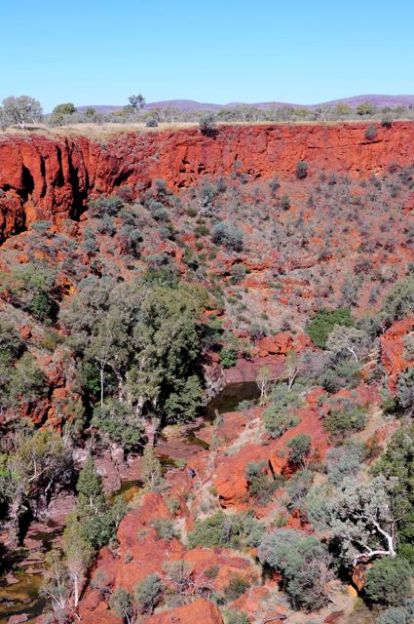
Some Karijini scenes:

ImageImageImageImageImage

Day 67 – Tom Price to Karijini

Day () – Tom Price to Karajini

Tom Price is a town built around mining – indeed, Wikipedia suggests it is Australia’s most affluent non-metropolitan town, thanks to the well-paid truck drivers employed there.

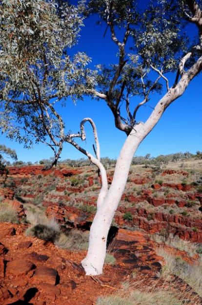
Whilst the town is not exactly beautiful (it was founded in the 60s), its setting is surprisingly attractive, with Mt Nameless (ironically, it actually has two names, the second one being its long-held Aboriginal name) looming above. Tom Price is WA’s highest town, and Mt Nameless its highest point.

The town itself is named after American Tom Price, who apparently played a key role in encouraging investment in the local mining industry (I can’t think of any other town using a person’s first name as well as surname, weird). The poor chap dies of a heart attack back in the US, two hours after hearing that a very rich ore discovery had been made in the area.
Image

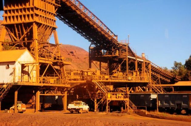
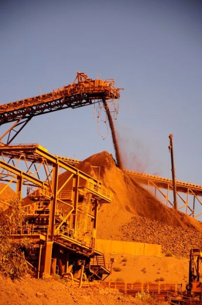
The reason to stay in Tom Price (apart to make use of its physio, supermarket, washing and car-washing facilities) is to go on a tour of Rio Tinto’s huge mine. So we donned our safety gear…
Image

(some with a Justin Bieber touch…)

Image

…and headed into another world, where trucks cost $4.4 million each, and consume 20 litres of diesel per kilometre, where truck drivers earn $180,000 and get six days off for every six worked (I’m not saying it’s easy, or that the conditions are conducive to a good family lifestyle, and it’s worth noting that three of the six working days are night shifts), and where the diggers just keep digging.

Here is a train being loaded:

Image

The size of the vehicles is stupendous. The wheels alone can be as much as 4 metres in diameter and cost up to $30,000 each.ImageImage


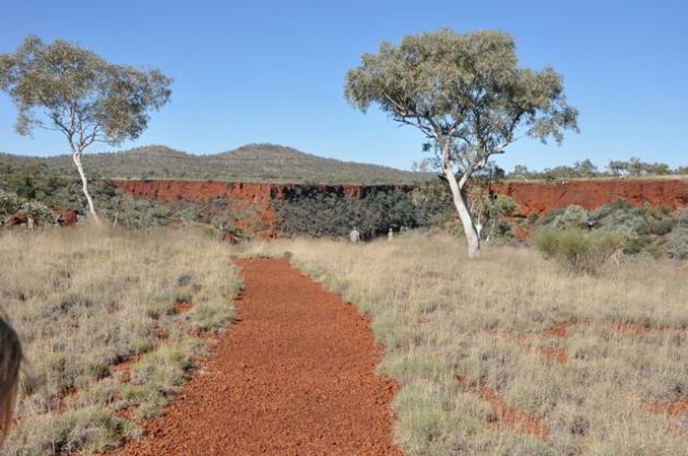
Leaving Tom Price behind us, we headed into nearby Karijini National Park, where we planned to spend four nights – partly because this would give Chris’s back a rest from the strain of packing/unpacking, and partly because we had finally struck some better weather and just felt like chilling in one place for a while.

Image 

Day 66 – Millstream National Park to Tom Price

….and rained…..and rained….and rained some more.

It was freezing outside, with continuous drizzle. If we had been in the trailer, with the awning, we would at least have had somewhere to have breakfast, but the pop-up tent doesn’t cut it when it comes to such practicalities.

We decided to drive to the other campsite, 15km down the road, to have breakfast as it had a sheltered camp kitchen, and then make a decision whether to stay another night at Crossing Pool or go, depending on whether the weather had cleared.

How depressing to have to drive (for what turned out to be about half an hour, given the road/conditions) to have my morning weetbix. And when we got there, although the table was sheltered, the camp kitchen was so cold Emily wore socks on her hands and Charlie needed to be wrapped in the picnic rug for extra warmth.

It is fair to say this was not a highlight of our trip.

The conditions were not conducive to photography, but I should have taken a picture of the striking crimson sturt desert peas which grew all around the campsite. We had seen our first ones the day before, and decided not to stop, expecting to see plenty more. Here they were again. And it turns out they were the last we would see!

…and it rained ….and rained …and rained.

So back at Crossing Pool (which I never managed to take a photo of) we packed away our sodden tent, soaking picnic rug and muddy shoes, and set off again towards Tom Price.

The (Rio Tinto) road was pretty slow going as the conditions were wet, muddy and slippery.

Image

It was fascinating to be so close to the railway all the way, and in a few hours we saw five loaded trains heading towards Dampier – that’s 1150 carriages of iron ore in just a few hours!

ImageImageImage

There was a fair bit of driving, so the kids enjoyed a movie along the way. Looking at this it’s hard to know if it was a scary or funny scene!

Image

(I hope you also noted the mud-splattered windows in the background – the conditions were very sloshy!)

Again we pitched the pop-up but, not relishing the prospect of cooking or eating in the rain, headed of to one of the few eateries in town. And what an insight! We were at a lodge where you pay for an all-inclusive buffet. Turns out practically everyone else there was a mine worker – I need not have worried about my unfashionable pairing of dust-stained runners with leggings and a muddy skirt, as the high-vis Rio weren’t exactly catwalk quality either!

But the insight was the confined existence these workers exist in – accommodated in close quarters (at this same lodge), and then eating breakfast/lunch/dinner together in the canteen. A little like boarding school but with more work!

The people running these canteens and lodges must be minting it, although again, our kids did their best to erode profit margins. How their eyes shone at the sight of the dessert buffet! Chris and I both probably ate too much too, but we were so grateful not to have to cook or wash up, not to mention eating inside out of the rain – luxury!

Day – Dampier to Millstream

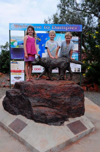
ImageImageWe said farewell to Dampier and the red dog statue, having enjoyed our moonlight cinema last night (camp stools and the computer screen isn’t exactly gold class, though it might as well have felt it to us).

Then we stopped in at the LNG facility on the Burrup Peninsula, where the kids learned some of the finer points of gas production. As a reward for their efforts they earned themselves some NW Shelf LNG pencils and a matching pencil case – it’s hard to say who was more excited, Chris or the kids!

Image

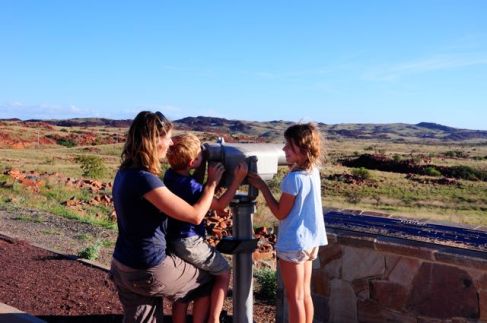
And then we were off to Millstream-Chicester National Park, a park that is really two (Chicester and Millstream). The Chicester Range showed just how diverse Australia’s scenery is, again presenting us with different vegetation and topography. From the top of Mt Herbert, textured grassy hills rolled away to a distant vista of volcano-like mounds.

Image

ImageImageImage

A little further down the road, we came to Python Pool with its soaring rock walls. We didn’t see any pythons, but the fact that the nearby watercourse was “Snake Creek” suggested the place might be writhing with them!

Image

Late afternoon we arrived at our campsite at Crossing Pool, which had a great feel to it, despite the grey and cold conditions. Although we only used the pop-up tent (Chris has done something to his back and the tent is easier to erect/dismantle solo) we decided this looked like a place we’d like to camp a couple of nights.

But that night it rained…….

Day 65 – Dampier (Burrup Peninsula and Karratha)

The Burrup Peninsula, just outside Dampier, is – like Dampier itself – a place of contrasts. Old and new, land of natural beauty and human exploitation of it.

The area has one of the richest concentrations of rock art in the world, with over a million individual petroglyphs (rock engravings) believed to be scattered around the peninsula and the surrounding archipelago. We explored only the most accessible, down a dirt road on the way to Hearson’s Cove.

Image

Image

At first we weren’t sure we were n the right place. The dirt road ended beside mountains of heaped rocks, like rubble only larger. But as we looked closer, we picked out a few engravings, and once we had spotted a few, we began to see them everywhere.

Image

Unlike the paintings we had seen in the Kimberley, which often portrayed a scene as well as individual things, these rock carvings tended to be discrete objects or depictions – a rainbow, an animal, a person etc.

ImageImage

We found one barely visible picture of a European sailing ship with three masts. The carvings are believed to vary in age from around 30000 years to as recent as the early 1800s – how they date these I have no idea, as some are literally scratchings in rock, not using paints and other materials that might be dated, although presumably the style and subject matter are crucial.

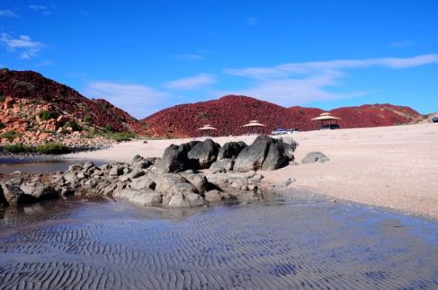
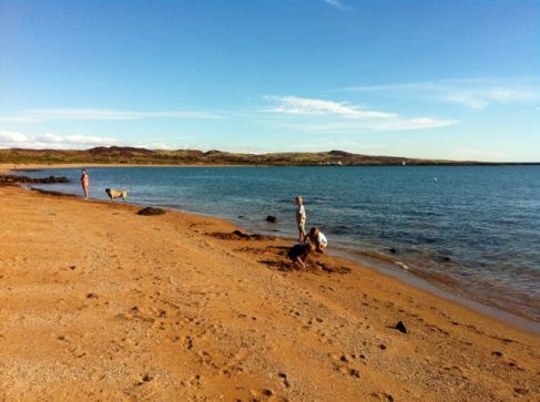
Hearson’s Cove came as a bit of a surprise as I had read it was a nice swimming beach. When we arrived it was beautiful, but the tide was so low it was a long way to go for a swim! 

ImageImage0

Instead, I got photos of the kids “walking on water” while they hunted the little mud/sand crabs that skittered about everywhere.

ImageImageImageImage

Image

And of course, there were more shells – this time tiny little ones that were very smooth – they must have been rolled over and over in the water to lose all their sharp edges.

Image

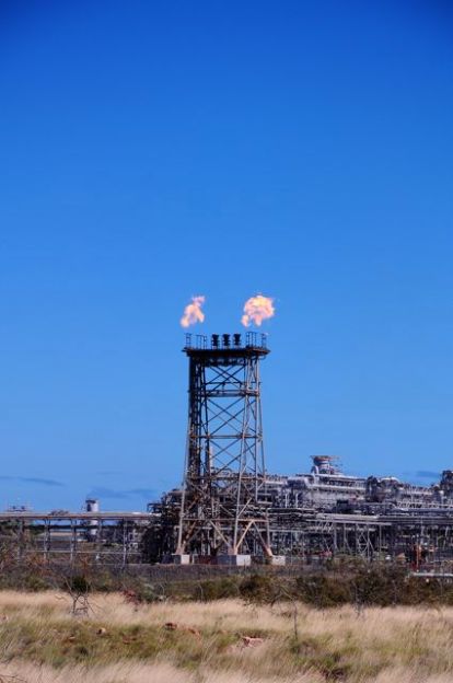
Further out on the peninsula is the North-West Shelf Joint Venture’s LNG plant, but as it was Sunday the visitors centre was closed so we decided to return the next day. We did admire the facility from afar, though, including this flare tower, on the top of which were some metal parts that gave the appearance of being three chairs. We joked they must be for unsatisfactory directors, or legal counsel, requiring a roasting! Not that there would be any need, of course.

Image

Travelling back across the salt flats, we headed to the Karratha Visitor Centre to apply for a permit to travel on Rio Tinto’s private rail access road that leads from near Dampier down to Tom Price. To acquire a permit, it is mandatory to view a 20 minute safety video, in which the Rio Tinto narrator foreshadows so many potential disasters on the road that Emily was begging us not to take it – speed kills, dust kills, cyclones may hit, bushfires can occur, flooding, roadtrains, head-on-collisions etc, complete with graphic depictions of staged and actual crashes. If everyone has seen the video, and Rio Tinto employees risk the sack if they are caught speeding more than once, it is probably one of the safest roads around! One interesting snippet was the warning not to wear red clothes if getting out of the car to watch trains, as train drivers will interpret the red as a sign to stop. (“What if you’re wearing a red skirt’” Emily asked. Well, no doubt if you took the skirt off the train driver would stop anyway!)

While at the tourist centre we also picked up a copy of the DVD “Red Dog”, about a dog that hitch-hiked around the Pilbara in search of his master. Many of the scenes are filmed in and around Dampier, so we thought a family movie night would be in order!

After doing some necessary shopping, we headed back to Dampier, stopping at a lookout and then getting some fresh air down by the foreshore.

Image

Image

Day 64 – Eighty Mile Beach to Dampier

Day – Eighty Mile Beach to Dampier

We hadn’t even arrived in Dampier before we saw our first iron ore train returning from the loading facility at Dampier’s port. You can just see it in this picture, the engine in the middle and then the long line of carriages as far as the eye can see. (The “water” in the foreground is actually the pinkish-tinged water of the salt flats forming part of Dampier Salt’s operations).

Image

Emily tried counting the carriages and gave up at 180 – we later learned the average number of carts, all piled high with fine or lump ore, is 230, requiring three locomotives to pull such a heavy load.

A few days ago we decided that, given the delays around Broome, we would rather miss the west coast that Chris and I have already seen, and take things a bit slower returning through the Pilbara. However, before turning inland we were keen to get to Dampier – not somewhere on the usual tourist trail, and barely noticed next to its larger neighbour, Karratha. But for us it offered the appeal of being close beside the Burrup Peninsula, with its thousands of petroglyphs (Aboriginal rock carvings), and a fascinating split personality caused by its scenic location overlooking the Dampier archipelago and its industrial role as a port for iron ore shipments and the home of Dampier Salt and Burrup Fertilisers operations.

The road between 80 Mile Beach and Dampier  runs parallel with the coast but sadly a good 10km away from it, missing the opportunity for what would otherwise be a scenic drive. Initially, there were few cars on the road, but this changed dramatically as we neared Port Hedland – suddenly there were mining cars and trucks everywhere, all flying their high-vis flags above the cabin, while roads and train-tracks criss-crossed everywhere. Although we only skirted the outlying parts of Port Hedland, it was enough to make us sure we didn’t want to venture further into town. Ugly, devoid of any greenery, scarred by infrastructure, littered with scrap metal – a huge economic pulse, no doubt, but an absolute hole visually.

After that, Dampier came as a pleasant surprise. Despite the important role it plays in Australia’s mining operations – it houses the main port for many of the Pilbara operations – it has a surprisingly small-scale and low-key feel to it. This was epitomized by the caravan park, which luckily we had called ahead to book – not because we really thought there was a chance of not getting a spot, but because it is the only place in town, so we didn’t want to drive there without knowing we had somewhere to stay. I was surprised when she told me they had “only a few spots left”, but it all made sense when we arrived. The quirky “Dampier Transit Caravan Park” has only 17 sites in total! It’s in a great location, looking out over the bay. So if you look one way, you enjoy this serene, almost Scottish, view over low-lying isles…..

 Image

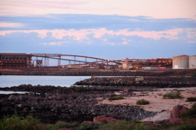
And if you look the other, you see a man-made wonder – the fascinating, intricate ship-loading facility, with a conveyorbelt to rival the kids’ best marble run efforts….

 ImageImage

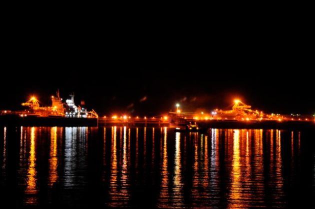
It does look strangely archaic, though, given the role it plays. Not surprising, given it was built back in the 60s (and another one on the other side of town was built in the 70s) – but it obviously still manages to perform its function well. It operates non-stop, 7 days a week, loading a ship fully within 3 days, and working to fill three ships at a time. It was interesting being in Dampier a couple of nights, as we could gradually see the ships sinking lower in the water. And at night, it was quite a spectacle, putting those caravan fairy lights to shame!

Image

Image

But the non-stop operations definitely produced a downside for our humble caravan park – our first night there coincided with the offloading of a train, so there were crashes and bangs for much of the night as each carriage was emptied, shunted, and the next one readied for emptying. In fact, it didn’t disturb us too greatly, although we did notice the relative silence the following evening when proceedings were at a different and quieter stage of the process!

The caravan park is actually owned by Rio Tinto, we learned – a piece of land used to house the initial workers, and now not needed for company operations. So as part of their contribution to the community, the community has it free of charge and proceeds flow back into local causes.


Day 63 – Eighty Mile Beach

What an amazing place Eighty Mile Beach is. A caravan park in the middle of nowhere, set on a huge expanse of white coastline boasting saucer-sized shells, a low tide that reaches out to the horizon, and spellbinding sunsets.

Image

The nearest upmarket accommodation is a couple of hundred kilometres away, so unless you’re prepared to camp/caravan, or stay in one of the unenticing cabins, this beach is out of reach.

Despite its isolation and humble accommodation, however, the caravan park attracts quite a crowd, and we were glad we had elected to take an unpowered site as this area was much less populated. Only a week ago, after the heavy rains, the road into this caravan park was closed – I wonder where all the stray caravans went then, as it’s a long way to the next stop!

Apart from its shells, EMB obviously has quite a reputation for fishing, but those in the know only attempt a catch when the tide is coming in, hence the difference between this scene….

 Image

and this, a few hours later, with the tide going out….

 Image

There is really very little to do here but relax, which suited us just fine. Walks on the beach (including spotting what we think was a group of turtles), a VERY quick dip (the water was freezing!), shell hunting, gazing in awe of the sunrises/sets and relaxing in the shade of our campsite filled the hours.

Image

The boys made their best “base” yet – totally enclosed in the hedge! They moved their armchairs, treasured possessions and UNO cards there, and happily passed the time playing hidden from view.

Image Luckily they had temporarily vacated their hideout when a hedge-trimming man came along to do a quick prune – not sure who would have got more of a fright!

The kids also took over the neighbouring empty site for some games of chasy. Just after they’d had a good run around, a lady approached me. “Your kids,” she started (and I thought “oh, no, what have they done now…”, and wondered whether perhaps I should have prevented the hedge hideout), “…..are the best behaved children I have ever seen in a caravan park. I’ve been watching how nicely they play together and how well they behave.”

Well, wonders never cease!

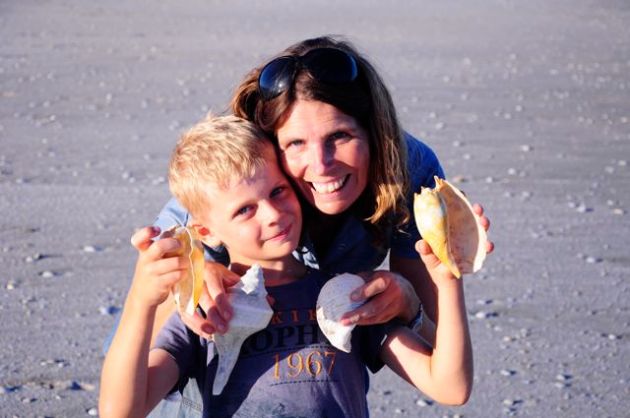
Have a look at these shells we found:

Image


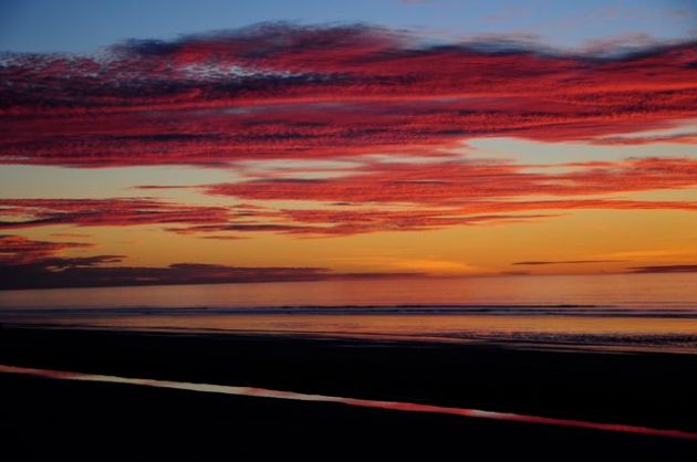
Love the vibrant sunsets….!ImageImage


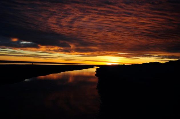
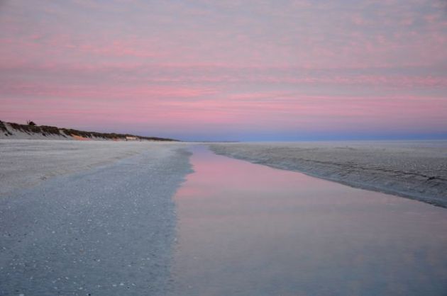
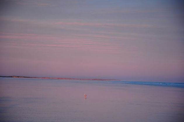
 No less beautiful, but in completely different pastel hues, were the sunrises, when the tide was so low you could walk out for nearly ten minutes before getting to the water.

ImageImage

Day 62 Broome to Eighty Mile Beach

As we were only having one night in Broome, we decided to use the pop-up tent at the caravan pa.rk and eat out for both dinner (ie last night with Pia) and breakfast. Resort-loving Emily had been hankering after a proper buffet breakfast (and we’re all partial to them really!), so we headed to Cable Beach Resort’s beautifully situated cafe with sweeping views of the sea.

Image Charlie, in particular, made sure he got his money’s worth (not hard, as for some reason he was free, a policy they may well rethink after watching him work his way through the pastry shelf and return for his fourth serving of orange juice)!

Image

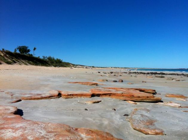
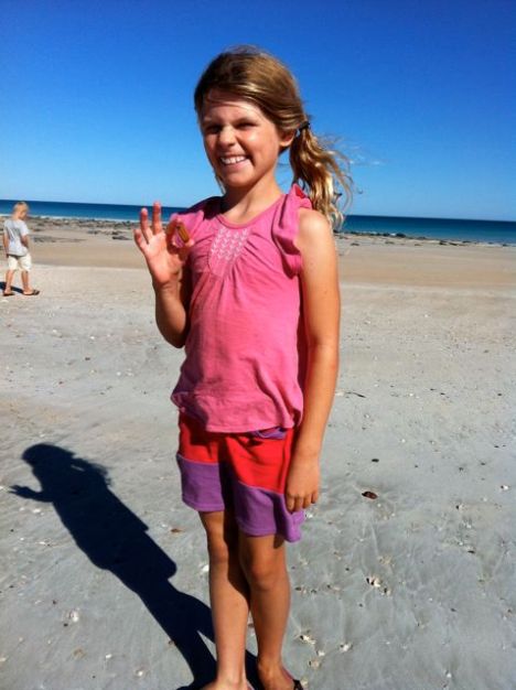
We had a last walk on Cable Beach before hitting the road for Eighty Mile Beach, a few hundred kilometres south along the coast.

ImageImage